In wastewater systems, large diameter pipes are considered some of the most critical pieces of infrastructure. These lines are designed to carry large amounts of flow and sewage to treatment facilities. Failure is not an option, as the consequence of failure greatly exceeds the cost to rehabilitate or repair. While routine CCTV investigation is a beneficial tool for subjective analysis, it can be very difficult to quantify and measure remaining useful life from a video image.
Laser inspection, specifically 3D LiDAR, offers an advantage over traditional CCTV inspection. It also better detects the changes in pipe shape caused by corrosion, deterioration, deformation, and deflection. Laser-based inspections come in two forms: laser profiling (2D) and LiDAR (3D). Although laser profiling, often known as ring laser or 2D LiDAR, is more commonly utilized, 3D LiDAR provides more advanced engineering reports to aid in the decision-making process.
How does LiDAR work?
LiDAR stands for Light Detection and Ranging. This method of measurement involves shooting laser light at a surface and calculating the time it takes to reflect off the surface and back to the sensor. This time measurement is then used to determine distance. The longer it takes the reflection to return, the farther the distance to the surface of the structure.
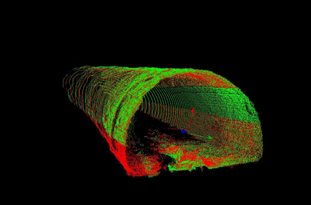
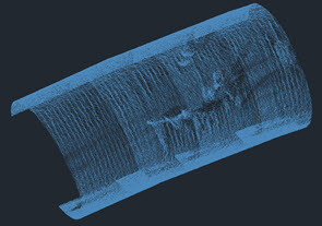
Typically, this laser light is projected as a beam capturing multiple individual points of measurement, known as point clouds. 3D LiDAR enables the use of the z-axis to create full sections of pipe rather than displaying the data points as a linear cross-section.
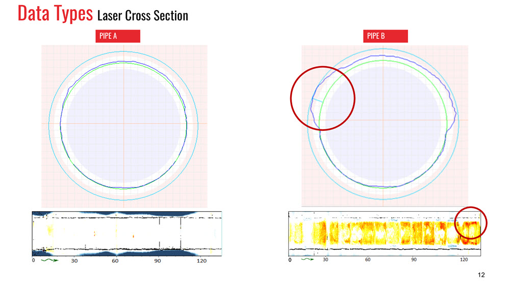
These scans can be exported into the cross-sections and compared to the expected internal diameter of the pipe. Measurements that are inside the reference shape can indicate a presence of buildup or debris. Measurements that are outside the reference shape indicate corrosion and/or deterioration or deformation, depending on the pipe material. A pipe defect is shown in the cross-sections below.

The LiDAR Advantage – Point Clouds
Point clouds align multiple scans based on features within the pipe to create a full model of the pipeline from access point to access point. These models are frequently used during the planning and design phases of a rehabilitation project for:

- Measuring the curvature and radius of the bends in the pipeline
- Determining alignment as it relates to above-ground infrastructure
- Mandrel testing in a virtual environment
- Time-based analysis for remaining useful life (RUL) analysis
Accurate and Informative Data
One of the advantages of 3D LiDAR data is a high degree of accuracy, however, gathering, compiling, and interpreting the results can take more time than traditional methods. 3D LiDAR is typically collected by stop-scanning. Stop-scanning is the practice of pausing or slowing the transport when performing scans to limit the amount of movement in the point cloud data. Due to the density of the information gathered, aligning and processing the data often takes longer in comparison to traditional cross-sectional analysis. Many engineers, consultants, and system owners will request this in-depth analysis for smaller selections of pipes, instead of the entire system.
Quantifying the deterioration and degradation of a pipe using a laser allows a utility owner to eliminate the guesswork of planning and rehabilitation. It also allows for proper prioritization of preventative maintenance to extend the life of the asset. Multiple laser inspections spread out over a period of time provide insight into how the pipe changes, as well as the rate of change and informing long-term preventative maintenance.
RedZone’s Responder uses LiDAR to conduct inspections. Read more about Responder and LiDAR.


